

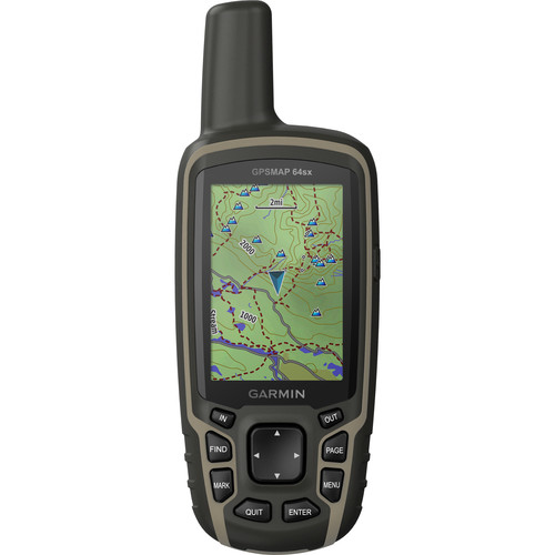
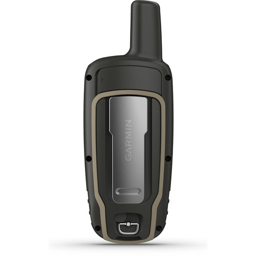


Garmin 64sx GPSMAP Navigator
- Satellite Imagery (with Subscription)
- US & Australia 100K Topo Maps
- Altimeter & Compass
- GPS, GLONASS & Galileo Satellites
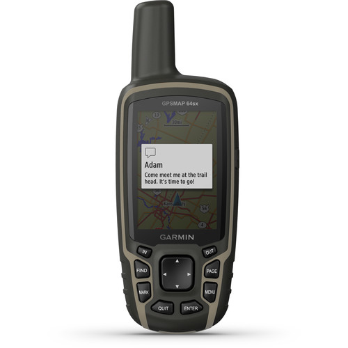
- Receive Alerts from Your iPhone
- Wireless Data Sharing Capability
- Paperless Geocaching Software
- 5000 Waypoint Memory
- Runs on 2 x AA Batteries
- Kindly Note: Prices and Stock Status are Subject to Change without Prior Notice
- Bank Financing attracts an additional percentage
- NB: Warranty registration is the customer's responsibility
- Disclaimer. We can not guarantee that the product specs information on this page is 100% correct.
Out of stock
Garmin GPSMAP 64sx Overview
Featuring pre-loaded topographic maps of the US and Australia, satellite imagery (with subscription), and navigation from three satellite services, the Garmin 64sx GPSMAP Navigator will be a trusted companion when you’re hiking, cycling, geocaching, or climbing. This model of the GPSMAP includes a compass and altimeter to aid your navigation.
The unit’s 2.6″ screen lets you easily navigate through its many features as well as its pre-loaded topographic maps and satellite photos. Positioning from GPS, GLONASS, and Galileo satellite navigation services assures you’ll know where you are and where you’re headed, even in challenging environments. Preloaded TopoActive maps feature routable streets and trails, showing waterways, natural features, and points of interest. You can download additional maps to the device’s 8GB internal memory or a microSD card. With a subscription to BirdsEye Satellite Imagery, you’ll have up-to-date aerial images to complement the maps. The unit is powered by two AA batteries (available separately). It measures 6.3 x 2.4 x 1.4″ and weighs 8.1 ounces. Buy the Garmin 64sx GPSMAP Navigator Best Price Online from CELLULAR KENYA,Nairobi
Related products
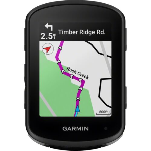
GARMIN Edge 540 Solar
Key Features;
- Extends battery life with solar charging.
- Touchscreen interface
- Navigation, mapping, incident detection, and group tracking.
- Distance, speed, pace, elevation, heart rate, power, etc.
- Up to 26 hours in standard mode, extended with solar charging.
- Customizable display
- Works with various sensors and accessories.
- Improved map detail compared to the Edge 530.
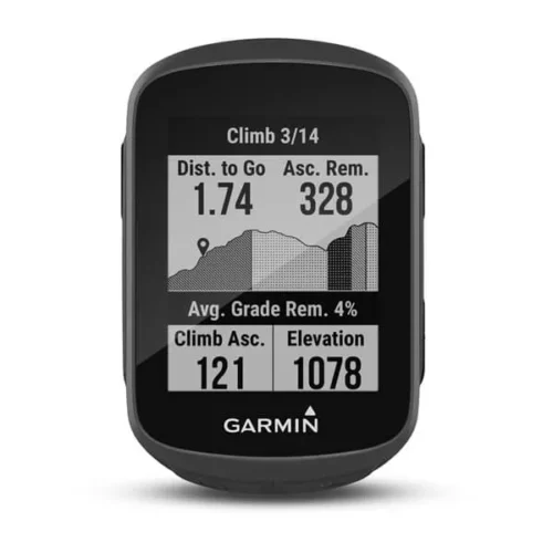
Garmin Edge 130 Plus
key features:
- Extremely lightweight and compact GPS bike computer for road and MTB with easy to read 1.8″ display even in direct sunlight or low light
- Performance evaluation and easy training plan synchronization
- Navigation with turn-by-turn instructions and route display
- ClimbPro for optimal planning of upcoming climbs
- MTB Dynamics with grit –, flow and jump analysis
- With GPS, GLONASS and Galileo satellites and an altimeter, you’ll know how far, fast, hard and high you’ve ridden on the longest climbs or on your way through the city
- Includes navigation with turn prompts and even shows you how to get back to start; download courses from the Course Creator feature in Garmin Connect™ online community, and race in real time against Strava Live Segments
- Compatible with Varia™ cycling awareness accessories, including rear-view radar and smart bike lights
- Connected features include smart notifications, weather and more; LiveTrack and Assistance features make it easy to share your location
- Battery life: up to 12 hours
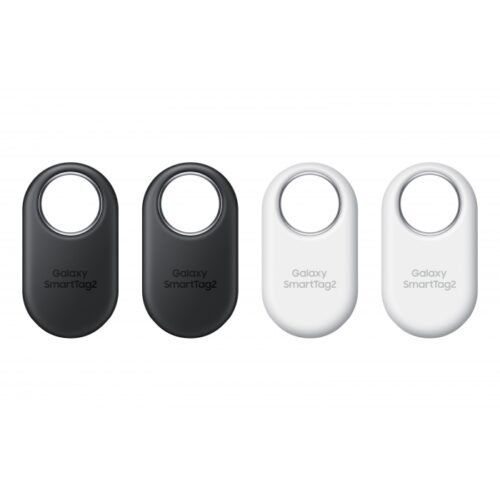
Samsung Galaxy SmartTag 2 4Pack
Key features:
- REDESIGNED TO DO MORE: The redesigned Galaxy SmartTag2 is made so you can keep calm and keep track*; Its design makes it easy for you to tag and carry your belongings
- EASY TO USE: It’s IP67-rated water- and dust-resistant, activates your compatible IoT devices and stays powered for up to 500 days or even up to 40% more on Non-Power Saving Mode
- RELAX, YOU’VE GOT IT TAGGED: Simply register a new Galaxy SmartTag2 and get started right away with SmartThings Find; With its intuitive tracking experience, you now have a way to keep track of things you love right in the palm of your hand
- SEARCH NEAR WHEN IT’S NOT FAR: Lose something? Switch on Search Nearby and get guided instructions to your item’s location via Compass View; If you still don’t see it, just ring your Galaxy SmartTag2 to have it send out an audible signal
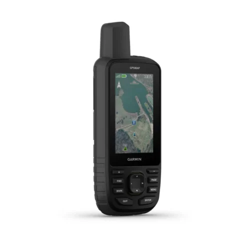
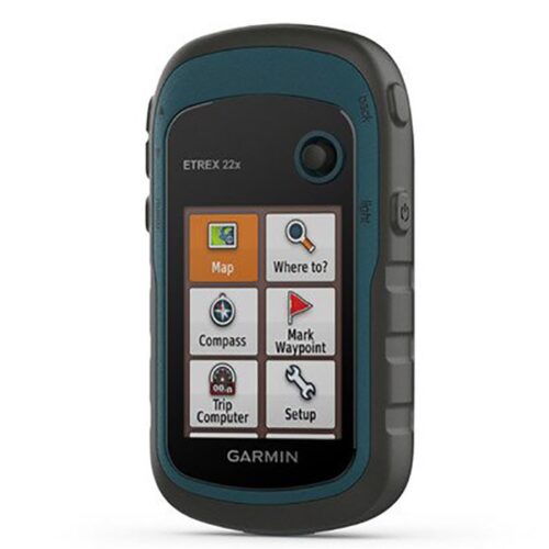
Garmin eTrex 22x
Key features:
- 2.2” sunlight-readable color display with 240 x 320 display pixels for improved readability
- Preloaded with TopoActive maps with routable roads and trails for cycling and hiking
- Support for GPS and GLONASS satellite systems allows for tracking in more challenging environments than GPS alone
- 8 GB of internal memory for map downloads plus a microSD™ card slot
- eTrex 32x adds a 3-axis compass and barometric altimeter
- Battery life: up to 25 hours in GPS mode with 2 AA batteries
Reviews
There are no reviews yet.