


GPSMAP® 67 GPS Handheld
KSh 72,999.00 + VAT
Key Features;
- 3” sunlight-readable color display.
- 180 hours of battery life in GPS mode and up to 840 hours in expedition mode.
- GNSS support.
- Vivid satellite imagery
- Kindly Note: Prices and Stock Status are Subject to Change without Prior Notice
- Bank Financing attracts an additional percentage
- NB: Warranty registration is the customer's responsibility
- Disclaimer. We can not guarantee that the product specs information on this page is 100% correct.
MULTI-BAND GNSS SUPPORT
Access multiple global navigation satellite systems (GPS, GLONASS, Galileo and QZSS). Get access to multiple frequencies sent by navigation satellites for improved position accuracy in areas where GNSS signals are reflected, weak or typically don’t penetrate.
ABC SENSORS
Navigate every trail with ABC sensors, including an altimeter for elevation data, barometer to monitor weather and 3-axis electronic compass.
SATELLITE IMAGERY
Download high-resolution photorealistic maps directly to your device via Wi-Fi® technology. Easily find trails, pick stand locations and parking, create waypoints and more.
PRELOADED TOPO MAPS
Preloaded TopoActive U.S., Mexico and Canada maps show you terrain contours, topographic elevations, summits, parks, coastlines, rivers, lakes and geographical points.
PREMIUM MAP FEATURES
With an Outdoor Maps+ subscription, you get public land information, landowner names, state plat maps, hunting management unit boundaries, BLM boundaries and more. Buy The GPSMAP® 67 GPS Handheld Best price online from CELLULAR KENYA,Nairobi
Related products
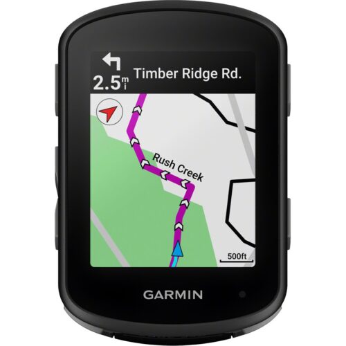
GARMIN Edge 540 Solar
Key Features;
- Extends battery life with solar charging.
- Touchscreen interface
- Navigation, mapping, incident detection, and group tracking.
- Distance, speed, pace, elevation, heart rate, power, etc.
- Up to 26 hours in standard mode, extended with solar charging.
- Customizable display
- Works with various sensors and accessories.
- Improved map detail compared to the Edge 530.


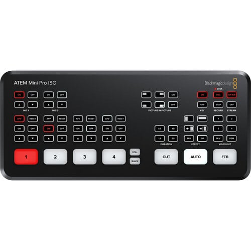
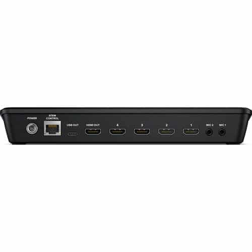
Blackmagic Design ATEM Mini Pro ISO HDMI Live Stream Switcher
key features
- 4-Channel Live Stream HDMI Switcher
- Program and 4 x Input ISO Recording
- Generates DaVinci Resolve Project
- Live Tally, Stream, and Record Status
- Record Button, Channel Preview Multiview
- 2-Channel Digital Audio Mixer per Source
- HDMI Output, Ethernet ATEM Control
- Media Player, Computer Input Support
- Upstream and Downstream Keyers
- DVE Transition, Chroma/Luma Keyers