




Garmin Montana 710i
Key Features
5-inch sunlight-readable glove-friendly touchscreen
Multi-GNSS support (GPS, GLONASS, Galileo)
TOPO mapping and City Navigator routing
Two-way messaging and interactive SOS with inReach technology
Preloaded TopoActive maps
BirdsEye Satellite Imagery (direct download)
Built-in 3-axis compass and barometric altimeter
8-megapixel camera with geotagging
Wireless connectivity (Wi-Fi, Bluetooth, ANT
Rugged, water-resistant design (IPX7)
Powered by lithium-ion battery pack or AA batteries
Compatible with Garmin Explore app
- Kindly Note: Prices and Stock Status are Subject to Change without Prior Notice
- Bank Financing attracts an additional percentage
- NB: Warranty registration is the customer's responsibility
- Disclaimer. We can not guarantee that the product specs information on this page is 100% correct.
Garmin Montana 710i In Kenya.
Garmin Montana 710i price in Kenya is at Ksh89,000.
Combining a multi-service navigator with Garmin popular satellite communicator, the Garmin Montana 710i can help you find your way around remote areas and stay in touch with the world, even where there’s no cell service. With a satellite network subscription, you’ll be able to communicate with other In-Reach users in the field and with Garmin Response, a 24/7-staffed professional emergency response coordination center. You can also get In-Reach weather and a live tracker that folks back home can use to follow your progress. Loaded with maps and apps, the Montana 710i will be your trusted companion in the backcountry.
Buy Garmin Montana 710i Best Price Online From CELLULAR KENYA,NAIROBI.
Related products
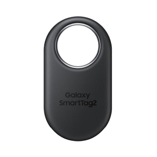
Samsung Galaxy SmartTag 2
Key features:
- REDESIGNED TO DO MORE: The redesigned Galaxy SmartTag2 is made so you can keep calm and keep track*; Its design makes it easy for you to tag and carry your belongings
- EASY TO USE: It’s IP67-rated water- and dust-resistant**, activates your compatible IoT devices****** and stays powered for up to 500 days*** or even up to 40% more on Non-Power Saving Mode*******
- RELAX, YOU’VE GOT IT TAGGED: Simply register a new Galaxy SmartTag2 and get started right away with SmartThings Find; With its intuitive tracking experience, you now have a way to keep track of things you love right in the palm of your hand*
- SEARCH NEAR WHEN IT’S NOT FAR: Lose something? Switch on Search Nearby**** and get guided instructions to your item’s location via Compass View*****; If you still don’t see it, just ring your Galaxy SmartTag2 to have it send out an audible signal

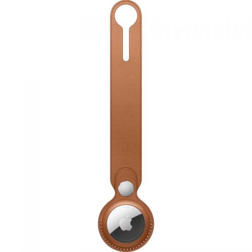
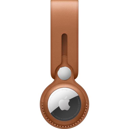

Apple AirTag (4-Pack)
- Track & Locate with Find My Network
- Precision Finding via Ultra Wideband
- Use with Keys, Wallet, Bags & More
- See Direction, Distance & Map Location
- Works with Apple's Find My App
- Built-In Speaker Plays Location Sound
- Find Items by Asking Siri
- Entire Process is Anonymous & Encrypted
- Over a Year of Battery Life
- Standard Battery is Replaceabl
Reviews
There are no reviews yet.