

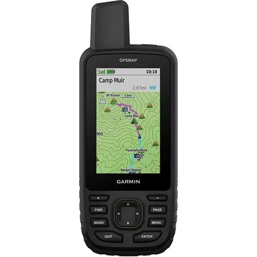



Garmin 67
Key Features
3-inch sunlight-readable color display
Multi-band GNSS (GPS, GLONASS, Galileo, QZSS, IRNSS)
Preloaded TopoActive maps
BirdsEye Satellite Imagery (direct download)
Digital 3-axis compass
Barometric altimeter
Extended battery life (up to 180 hours in standard mode, 840 hours in expedition mode)
Wireless connectivity (Wi-Fi®, Bluetooth®, ANT+®)
Rugged, water-resistant design (IPX7)
Garmin Explore app compatibility
- Kindly Note: Prices and Stock Status are Subject to Change without Prior Notice
- Bank Financing attracts an additional percentage
- NB: Warranty registration is the customer's responsibility
- Disclaimer. We can not guarantee that the product specs information on this page is 100% correct.
Garmin 67 In Kenya.
Garmin 67 price in Kenya is at Ksh64,500.
The Garmin GPSMAP 67 is built for adventurers who want reliable navigation in the wildest environments. With a bright 3-inch color display that’s easy to read in sunlight, it guides you confidently whether you’re hiking, climbing, or exploring remote areas. Its multi-band GNSS technology ensures highly accurate positioning, even in challenging terrain, while preloaded TopoActive maps and BirdsEye Satellite Imagery give you a clear view of your surroundings.
Designed to handle tough conditions, the GPSMAP 67 features a rugged, water-resistant build and offers an impressive battery life of up to 180 hours in standard mode and 840 hours in expedition mode—so it won’t quit before you do. With built-in sensors like a 3-axis compass and barometric altimeter, plus wireless connectivity to sync with the Garmin Explore™ app, it’s more than just a GPS—it’s your trusted companion for every adventure
Buy Garmin 67 Best Price Online From CELLULAR KENYA,NAIROBI.
Related products
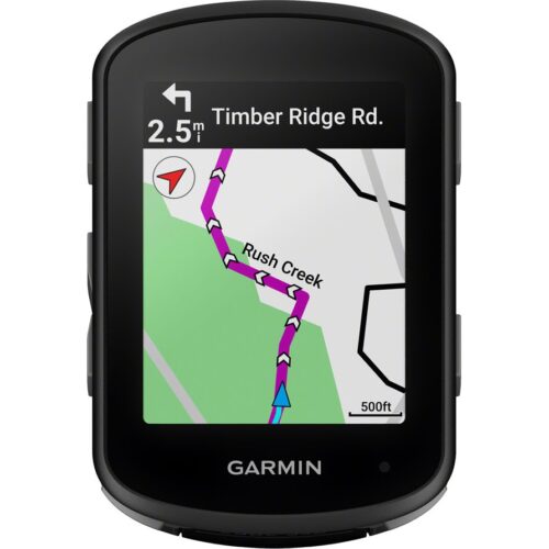
GARMIN Edge 540 Solar
Key Features;
- Extends battery life with solar charging.
- Touchscreen interface
- Navigation, mapping, incident detection, and group tracking.
- Distance, speed, pace, elevation, heart rate, power, etc.
- Up to 26 hours in standard mode, extended with solar charging.
- Customizable display
- Works with various sensors and accessories.
- Improved map detail compared to the Edge 530.
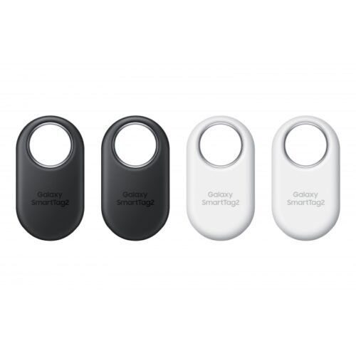
Samsung Galaxy SmartTag 2 4Pack
Key features:
- REDESIGNED TO DO MORE: The redesigned Galaxy SmartTag2 is made so you can keep calm and keep track*; Its design makes it easy for you to tag and carry your belongings
- EASY TO USE: It’s IP67-rated water- and dust-resistant, activates your compatible IoT devices and stays powered for up to 500 days or even up to 40% more on Non-Power Saving Mode
- RELAX, YOU’VE GOT IT TAGGED: Simply register a new Galaxy SmartTag2 and get started right away with SmartThings Find; With its intuitive tracking experience, you now have a way to keep track of things you love right in the palm of your hand
- SEARCH NEAR WHEN IT’S NOT FAR: Lose something? Switch on Search Nearby and get guided instructions to your item’s location via Compass View; If you still don’t see it, just ring your Galaxy SmartTag2 to have it send out an audible signal
Reviews
There are no reviews yet.