

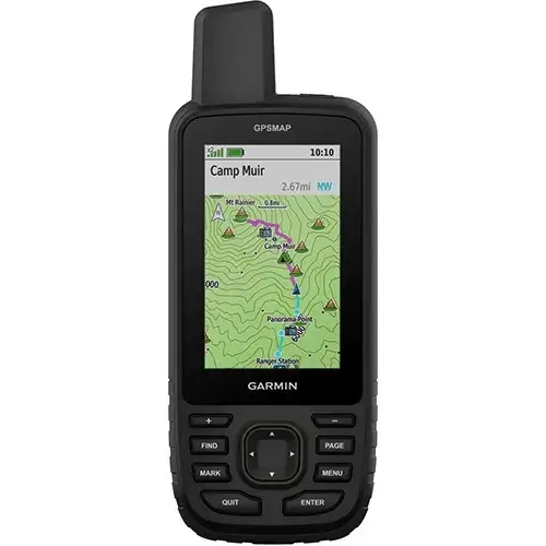
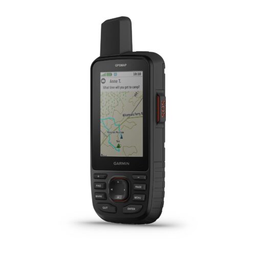
GPSMAP® 67 GPS Handheld
KSh 72,999.00 + VAT
Key Features;
- 3” sunlight-readable color display.
- 180 hours of battery life in GPS mode and up to 840 hours in expedition mode.
- GNSS support.
- Vivid satellite imagery
- Kindly Note: Prices and Stock Status are Subject to Change without Prior Notice
- Bank Financing attracts an additional percentage
- NB: Warranty registration is the customer's responsibility
- Disclaimer. We can not guarantee that the product specs information on this page is 100% correct.
MULTI-BAND GNSS SUPPORT
Access multiple global navigation satellite systems (GPS, GLONASS, Galileo and QZSS). Get access to multiple frequencies sent by navigation satellites for improved position accuracy in areas where GNSS signals are reflected, weak or typically don’t penetrate.
ABC SENSORS
Navigate every trail with ABC sensors, including an altimeter for elevation data, barometer to monitor weather and 3-axis electronic compass.
SATELLITE IMAGERY
Download high-resolution photorealistic maps directly to your device via Wi-Fi® technology. Easily find trails, pick stand locations and parking, create waypoints and more.
PRELOADED TOPO MAPS
Preloaded TopoActive U.S., Mexico and Canada maps show you terrain contours, topographic elevations, summits, parks, coastlines, rivers, lakes and geographical points.
PREMIUM MAP FEATURES
With an Outdoor Maps+ subscription, you get public land information, landowner names, state plat maps, hunting management unit boundaries, BLM boundaries and more. Buy The GPSMAP® 67 GPS Handheld Best price online from CELLULAR KENYA,Nairobi
Related products
Garmin 67
-
3-inch sunlight-readable color display
-
Multi-band GNSS (GPS, GLONASS, Galileo, QZSS, IRNSS)
-
Preloaded TopoActive maps
-
BirdsEye Satellite Imagery (direct download)
-
Digital 3-axis compass
-
Barometric altimeter
-
Extended battery life (up to 180 hours in standard mode, 840 hours in expedition mode)
-
Wireless connectivity (Wi-Fi®, Bluetooth®, ANT+®)
-
Rugged, water-resistant design (IPX7)
-
Garmin Explore app compatibility

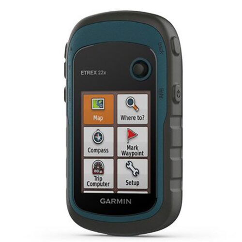
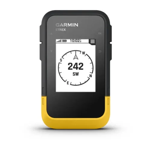
Garmin eTrex 22x
- 2.2” sunlight-readable color display with 240 x 320 display pixels for improved readability
- Preloaded with TopoActive maps with routable roads and trails for cycling and hiking
- Support for GPS and GLONASS satellite systems allows for tracking in more challenging environments than GPS alone
- 8 GB of internal memory for map downloads plus a microSD™ card slot
- eTrex 32x adds a 3-axis compass and barometric altimeter
- Battery life: up to 25 hours in GPS mode with 2 AA batteries


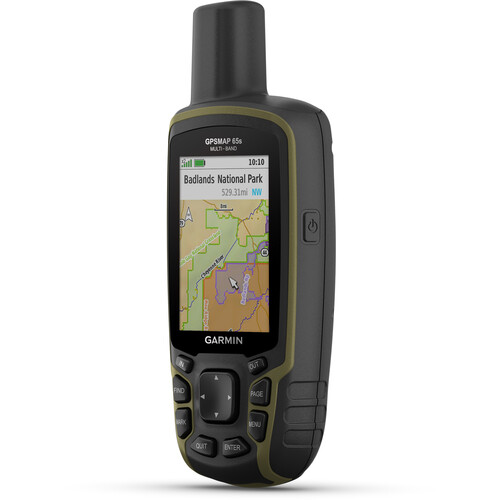
Garmin GPSMAP 65s Handheld Navigator with Altimeter, Barometer, & Compass
- Multi-Band GNSS for Optimal Accuracy
- US & Canada Routable Topo Maps
- 2.6" Sunlight-Readable Color Display
- Barometer, Altimeter, 3-Axis Compass
- Receive Alerts from Your Phone
- Shows Public Land Boundaries
- Plan with Garmin Explore Map
- microSD Card Slot for Adding Maps
- Auto Cache Updates from Geocaching Live
- Runs on 2 x AA Batteries