

Garmin Enduro 3
KSh 105,950.00 + VAT

PS5 Slim 30th Anniversary Edition
KSh 102,000.00 + VAT
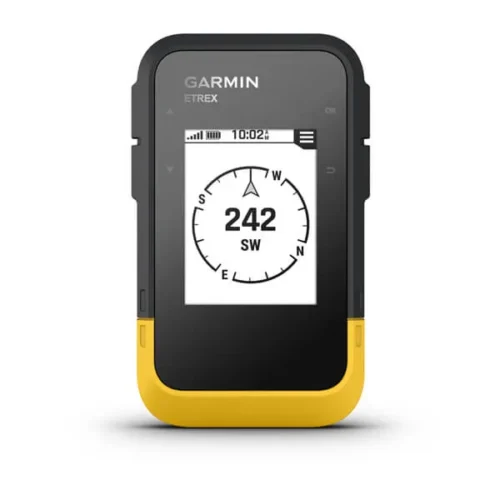
Garmin eTrex Solar
KSh 33,000.00 + VAT
- Kindly Note: Prices and Stock Status are Subject to Change without Prior Notice
- Bank Financing attracts an additional percentage
- NB: Warranty registration is the customer's responsibility
- Disclaimer. We can not guarantee that the product specs information on this page is 100% correct.
Description
Garmin eTrex Solar Price & features in kenya
Garmin eTrex Solar Price in kenya is at ksh 33000
- Bright sunlight is no problem with the high-resolution 2.2” screen.
- Head out for longer trips with unlimited battery life when used in sunny 75,000 lux conditions.
- Want next-level positional accuracy? You got it with multi-band GPS.
- Plan trips and more when you pair with the Garmin Explore™ smart-device app.
- Keep your bearings with the digital compass so you’re always on course.
- Don’t worry about the weather. It’s water-resistant and rated to IPX7.
- Get unlimited battery life when used in sunny 75,000 lux conditions or up to 200 hours with no solar charging.
- Multi-band GPS gives you access to multiple frequencies sent by navigation satellites to improve positional accuracy.
- Get automatic cache updates from Geocaching Live, including descriptions, logs and hints. When connected to the Garmin Explore app, each find will upload to your Geocaching.com profile
- Follow your bearing on the digital compass, which provides an accurate heading even when stationary.
- When connected to the Garmin Explore app, you can get real-time forecast information, so you’re aware of the changing conditions.
- Connect with the Garmin Explore app for wireless software updates, cloud storage, trip planning, smart notifications and additional mapping
Buy The Garmin eTrex Solar Price Online from CELLULAR KENYA,Nairobi
Shipping & Delivery
Related products
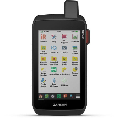

Garmin Montana 710i
Key Features
-
5-inch sunlight-readable glove-friendly touchscreen
-
Multi-GNSS support (GPS, GLONASS, Galileo)
-
TOPO mapping and City Navigator routing
-
Two-way messaging and interactive SOS with inReach technology
-
Preloaded TopoActive maps
-
BirdsEye Satellite Imagery (direct download)
-
Built-in 3-axis compass and barometric altimeter
-
8-megapixel camera with geotagging
-
Wireless connectivity (Wi-Fi, Bluetooth, ANT
-
Rugged, water-resistant design (IPX7)
-
Powered by lithium-ion battery pack or AA batteries
-
Compatible with Garmin Explore app
-17%
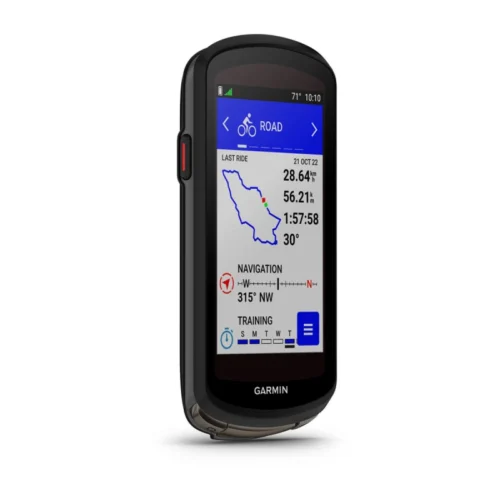
GARMIN Edge 530GPS Bundle
- Alerts (triggers alarm when you reach time, distance, HR, calories goals): yes
- Internal memory: 16 GB
- Compatible with Varia™bike radar and lights: yes
- LiveTrack: yes
- Advanced performance and power analysis, including new Time in Zone, FTP tracking, cycling-specific VO2 and recovery and cycling dynamics
- Bike trainer profile for compatible Turbo trainer data display and control
- On-device segment compatibility for dynamic and engaging in-ride competition
- Operating temperature: -20°C to +55°C
- Connected features via a smartphone: yes
- Integration with Shimano Di2 electronic shifting: yes
- Weather alerts: yes
Garmin Edge 1040
Key features:
- Advanced GPS bike computer combines superior navigation, planning and performance tracking, cycling awareness and smart connectivity
- Find your way in the most challenging environments with multi-band GNSS technology that provides enhanced positioning accuracy
- Simplified setup and a streamlined interface make it quick and easy to access the information, courses and tools you need and even adjust data fields right from the Edge device or from your paired smartphone
- Classify your strengths as a cyclist, and compare your cycling ability to the demands of a specific course when paired with your compatible sensors, so you can focus your training and improvement in the right areas
- Manage your efforts with the power guide feature, which recommends power targets throughout a course, when paired with your compatible sensors
- Get stamina feature insights while you ride, when paired with your compatible sensors, so you can keep an eye on how much longer you can really push it
- Stay on top of your training program with prompts to complete missed workouts
-12%
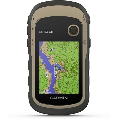
Garmin eTrex 32x GPS Navigator
Key features:
- 2.2” sunlight-readable color display with 240 x 320 display pixels for improved readability
- Preloaded with TopoActive maps with routable roads and trails for cycling and hiking
- Support for GPS and GLONASS satellite systems allows for tracking in more challenging environments than GPS alone
- 8 GB of internal memory for map downloads plus a microSD™ card slot
- eTrex 32x adds a 3-axis compass and barometric altimeter
- Battery life: up to 25 hours in GPS mode with 2 AA batteries

-17%
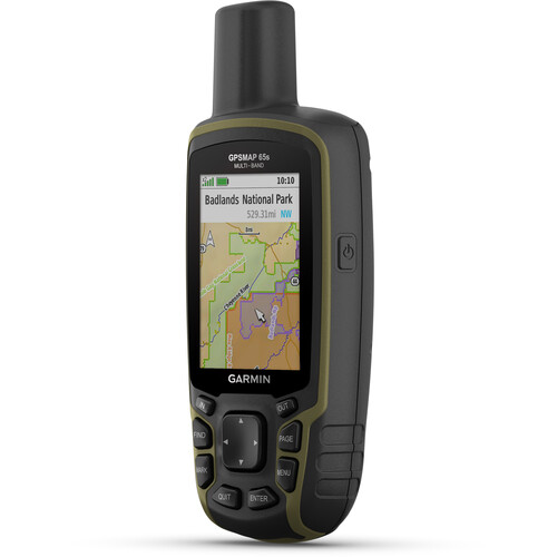
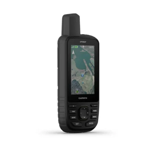
Garmin GPSMAP 65s Handheld Navigator with Altimeter, Barometer, & Compass
Key Features
- Multi-Band GNSS for Optimal Accuracy
- US & Canada Routable Topo Maps
- 2.6" Sunlight-Readable Color Display
- Barometer, Altimeter, 3-Axis Compass
- Receive Alerts from Your Phone
- Shows Public Land Boundaries
- Plan with Garmin Explore Map
- microSD Card Slot for Adding Maps
- Auto Cache Updates from Geocaching Live
- Runs on 2 x AA Batteries